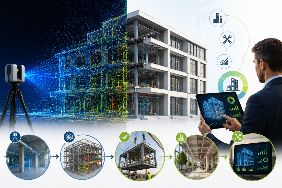
People often think LiDAR scanning is simply a more advanced way to measure a building. According to Edward de Jager, Head of Operations atBPAS Architects, that misses the point entirely. “The most common misunderstanding is the belief that a raw LiDAR scan is a finished BIM model,” he explains. “In reality, converting a LiDAR point cloud (a massive collection of 3D data points generated by scanning an object or environment with a laser sensor) into a smart, parametric model still requires significant human expertise and processing time.”
The scan itself is only the starting point, De Jager says. The real value lies in what accurate building data enables. BPAS uses LiDAR to create digital models and twins that support coordination, asset management and long-term decision-making across a building’s lifecycle.
For BPAS, De Jager says, the value lies in the fact that once a point cloud is integrated into BIM, teams are no longer working from assumptions, incomplete surveys or outdated drawings, but from a precise digital representation of reality. Because small inaccuracies can snowball quickly in the built environment, this reduces long-term costs.
READ – Payment Failures Are Driving SA’s Construction Disputes
The hidden cost of “good enough”
Construction projects rarely fail or significantly overrun deadlines and budgets because of a single catastrophic error. Typically, problems accumulate over time. “The industry often defaults to ‘good enough’ traditional surveys, ignoring the compounding interest of errors that occur when every subsequent consultant works off an inaccurate original measurement,” says De Jager. “Inaccuracies typically begin to compromise the project during the schematic design phase, as every subsequent layer of engineering and detailing is built upon a flawed foundation. This creates a ‘snowball effect’ where minor initial errors lead to massive downstream consequences, such as structural clashes, wasted materials and expensive redesigns during active construction.”
The industry has traditionally accepted some uncertainty as inevitable, especially with existing buildings or complex retrofits, but that uncertainty comes at a cost. LiDAR – when used well – can help to improve certainty and thereby decrease risk. “Many firms still treat high-resolution data as a luxury, failing to realise that the cost of a LiDAR scan is negligible compared to the 10%–20% budget blowouts caused by late-stage structural surprises,” De Jager notes.
The consequences of late-stage changes are familiar to anyone involved in project delivery: variation orders, delays, site clashes, rework and strained coordination between consultants and contractors. And, of course, the financial effects of all of these.
What LiDAR changes is not just the quality of measurement, but the level of certainty teams can establish upfront.
READ – The Impact of Ten Years of Decline on South Africa’s Construction Risk Landscape
Identifying problems digitally
One of the biggest advantages of accurate scan data is that it allows problems to be identified digitally before they appear physically on site. “By capturing complex geometries and hidden structural deviations that traditional tools might miss, it eliminates the ‘surprises’ typically found during construction,” says De Jager. “This precision allows for prefabrication and design decisions to be made with total confidence, significantly reducing the need for costly on-site adjustments later.”
This becomes particularly valuable when coordinating prefabricated elements, such as structural steel, timber decking or bespoke components. “In our experience, having a millimetre-accurate scan allows us to detect clashes between new designs and existing structural elements virtually, long before a single brick is laid,” De Jager explains. “By ensuring these elements fit perfectly the first time, we drastically compress the assembly timeline and reduce the waste associated with on-site adjustments.”
This lets BPAS focus on proactive coordination instead of reactive problem-solving. Teams can resolve issues during design rather than during construction and make decisions with greater confidence from the outset.
READ – Construction Sector Faces Profit Squeeze
The long-term value of a digital twin
By using a scan to create a digital twin (a dynamic virtual copy of an asset, such as a building), the value of accurate LiDAR information can be extended beyond construction, with buildings being understood as more than physical structures, but as long-term operational assets with measurable performance data attached to them.
“A digital twin serves as a living record that allows facility managers to simulate maintenance scenarios and monitor structural health throughout the building’s lifecycle,” says De Jager.
When integrated with live building systems and sensor data, these digital environments can support predictive maintenance, energy optimisation and more informed facilities management decisions.
“In recent projects, calculating efficiency ratios for companies with a large stable of assets has proven incredibly useful when they look at acquiring new buildings,” De Jager says. In that sense, the technology is moving beyond architecture and construction into operational strategy and asset intelligence.
For BPAS, the value also lies in making technical data usable for people who are not working inside architectural software every day. LiDAR scans and architectural models are integrated into platforms that developers and stakeholders already feel comfortable using, allowing teams to engage with live project information in a more intuitive and practical way. This helps clients to better understand spatial relationships, operational implications and project risks without needing deep technical expertise themselves.
READ – OLEBOGENG MANHE – SA Construction Set for Stronger 2026
Technology backed by human expertise
While advocating for the use of LiDAR and digital twins, BPAS is cautious about overstating what the technology can do on its own. De Jager says the technologies are often presented as highly automated, near-instant solutions. But, in practice, the quality of the outcome still depends heavily on interpretation, modelling expertise and ongoing data management.
“There is also a misconception that a digital twin is a ‘set-and-forget’ product rather than a living data ecosystem,” he says. “Without consistent updates and integration with building management systems, a scan is simply a static 3D snapshot that loses its operational value as the physical building inevitably changes.”